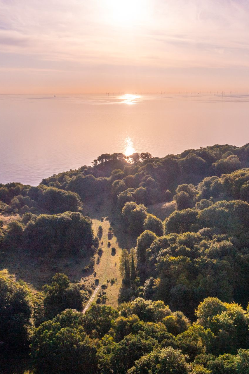





Experience Møns Klint from all angles.
Experience Møn Cliff
Hiking on your own
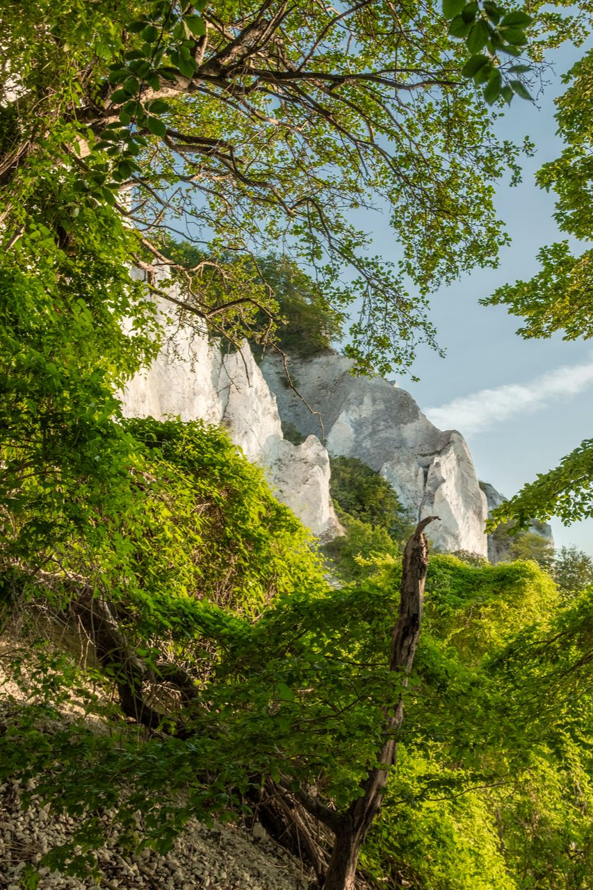
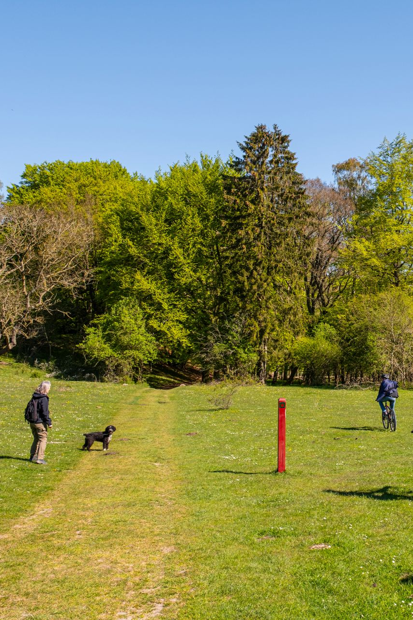
The World Heritage area on Høje Møn is fantastic for both relaxed strolls, hikes of varying difficulty levels and other outdoor activities.
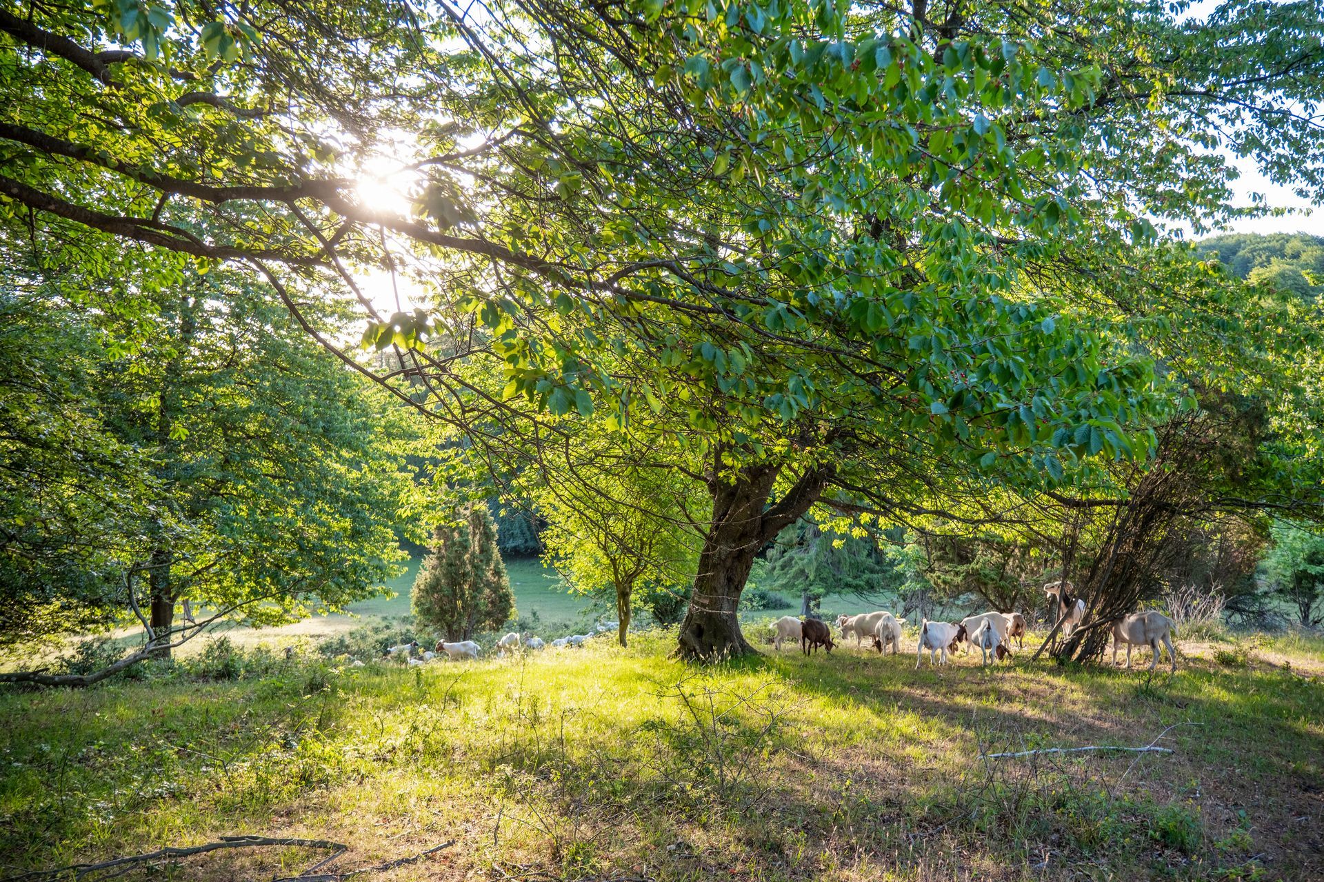
You can walk in the Cliff Forest, on the species-rich limestone grasslands and of course on the beach, where you can collect fossils and see the spectacular cliff profile from below.
Please note that some of the natural areas are private, while others are public. Traffic rules and practical information are marked with signs in the landscape.
The Camo
Camønoen is called 'the Kingdom's friendliest hiking route'. It is 175 km long and divided into 12 stages that go all the way around Møn, Nyord, Bogø and Farø.
The stages Klinteetapen (16.6 km) and Mælkevejen (12.7 km) go through Høje Møn and the designated World Heritage area.
Camønoen was inaugurated in 2016, as a result of a collaboration between local enthusiasts, Museum Sydøstdanmark and Vordingborg Municipality.
The Kingdom of the Cliff King
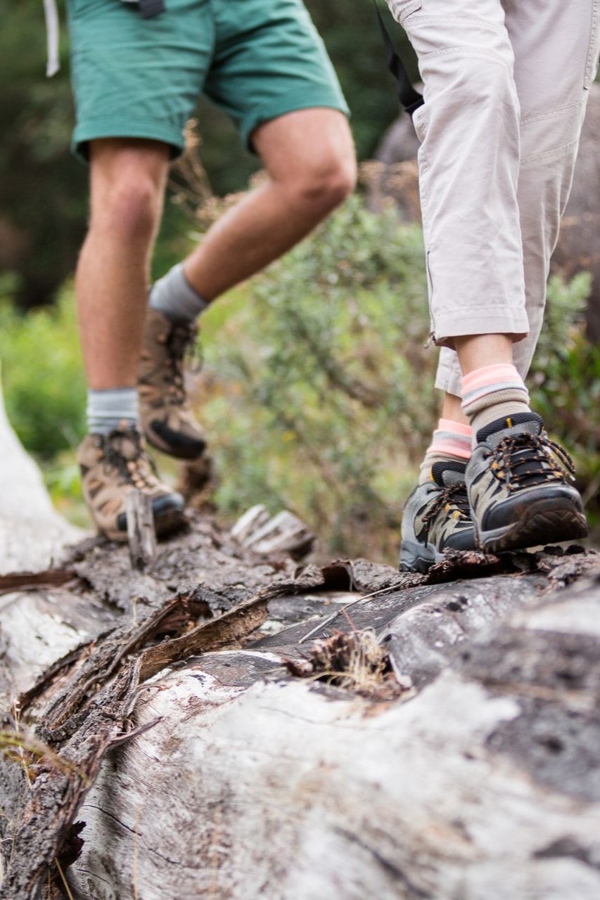
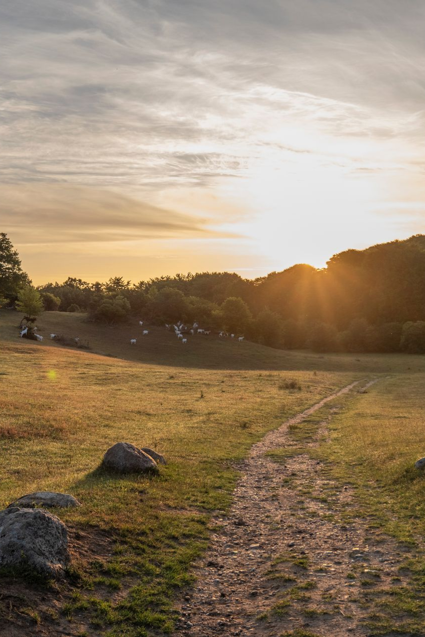
The Klintekongens Rige hiking route is a 14.5 km long circular route that moves through all the highlights on Høje Møn and in the World Heritage area.
At its inauguration in 2022, the route achieved top marks as Europe's best hiking route according to the German hiking institute: Premium Wanderwege, which certified the route the same year.
The Kingdom of the Cliff King passes through a varied landscape with beech forest, limestone grassland, cliff views, beach, culture and ancient monuments – and with its 477 meters of elevation gain, it is recommended to allow plenty of time for the route.
The route can be hiked in both directions, and can start/end at Jydelejet, Liselund or Geocenter Møns Klint.
Walk 'n' talk on the cliff edge
If you are interested in hearing more about the World Heritage Site on a walk along the cliff edge, you can sign up for one of the three annual Walk 'n Talks, where you can hear the Site Manager for the World Heritage Site at Møns Klint talk about both geology and the municipality's work with World Heritage.
Register by sending an email to Site Manager, Eliza: eljes@vordingborg.dk
Geocenter Møns Klint
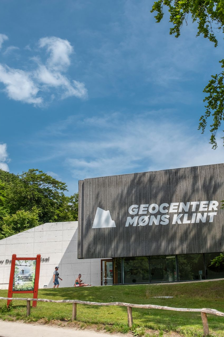
If you want to know more about the geology and nature at Møns Klint, you can visit the dissemination center GeoCenter Møns Klint, which is part of the Danish Knowledge Pedagogical Activity Centers: VPAC, which excels in disseminating academic material in an interactive and playful way.
Geocenter Møns Klint is a private, commercial foundation that operates according to non-profit principles and has, as an organization, played an active role in the designation of Møns Klint as a UNESCO World Heritage Site in 2025.
Sailing trips in front of the cliff
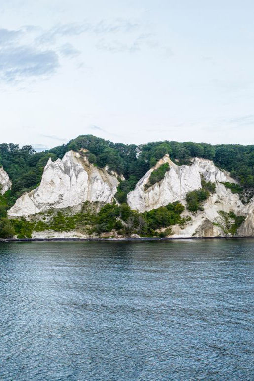
Seeing Møns Klint from the sea side gives a completely different overview of the cliff profile and the geological structures that have made the cliff a World Heritage Site.
If you don't have your own boat, you can book a sailing trip with the sailing vessel Discovery, which sails from Klintholm Harbor when wind and weather permit.
Liselund Castle and Romantic Garden
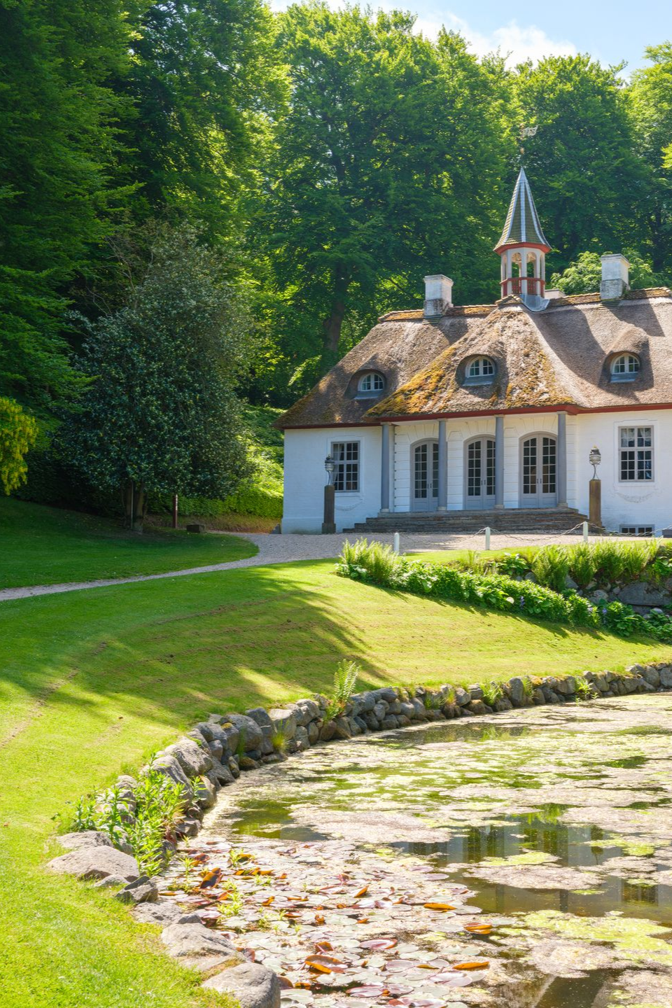
The spectacular nature on Høje Møn also impressed in the past, and in 1792 the noble couple de la Calmette built the small pleasure palace Liselund, and established an ambitious romantic garden according to all the regulations of the time, right in the middle of the dramatic nature of East Møn, which is today a UNESCO World Heritage Site.
In the 19th century, the castle hosted many prominent guests, not least Golden Age painters who enjoyed painting the dramatic cliff motifs at Møns Klint.
Today the castle is managed by the National Museum: Liselund Castle and Romantic Garden. There is free access to the romantic garden, from which you can walk directly out onto the cliff edge.
Additional information
Information about accommodation and places to eat on Møn can be found on Visit Sydsjælland and Møn, as well as on the digital platforms: Mønu, which provides local events, news and content related to Møn and the surrounding area, and Oplev Møn, which contains a detailed map function with hiking routes and points of interest, which can also be downloaded for offline use.